Deep South Trip Day 7: Navy SEAL Museum and Driving North

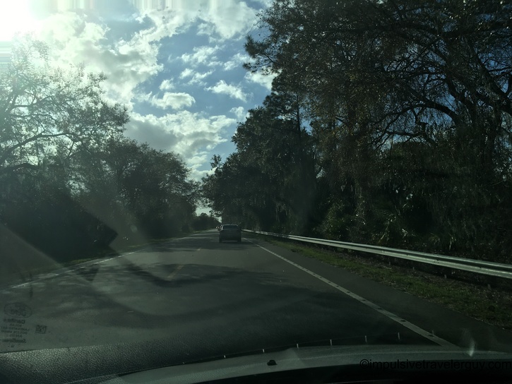
The night before, my buddy Mat and I partied up a little bit. Now, we were going to head to the Navy SEAL museum, and then I was going to head north to the Carolinas. After breakfast at the hotel, we drove to Ft. Pierce.

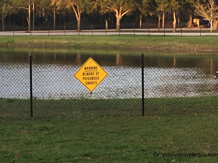
We got to the museum with a little time to spare before it opened. It was a nice day, so I parked the car and we headed to the beach right by the museum.

Weather app screenshot showing 76°F and mostly sunny conditions in Palm Bay, Florida, with wind speed of 10 mph and map of Orlando area Fenced dog park with playground equipment and shade structures visible in background under clear blue sky Gated entrance to beach facility with palm trees, white building, and handicap accessible parking spaces in foreground St. Lucie County beach conditions board displaying color-coded flag warning system and handwritten current conditions on chalkboard Sandy beach access path lined with rope posts, tropical vegetation, and sea grape trees leading toward ocean Beach warning signs about rip currents and sea turtle nesting attached to posts along vegetated dune area Shaded beach boardwalk path with rope railings flanked by dense coastal vegetation and sea grape trees Beach access path opening to ocean view through natural tunnel of sea grape and palm trees with clear blue sky Beach access point with blue trash bin visible, sea oats in foreground, and people fishing on sandy beach beyond Wide beach view with coastal dunes covered in sea oats and grasses, ocean and whitecaps visible in distance High-rise beachfront condominiums visible above dense coastal vegetation with autumn-colored sea grape leaves Dark seaweed deposit line on sandy beach with people fishing in background near ocean surf Wide sandy beach with scattered seaweed patches, people fishing, and moderate ocean waves under partly cloudy sky Backlit beach scene with silhouetted person fishing in surf, sun reflecting on ocean water, and tire tracks in sand Beach view looking north showing high-rise buildings, natural dune vegetation, and beachgoers along waterline Group of surf fishermen with American flag and fishing gear setup on beach with rough ocean conditions Backlit silhouette of lone fisherman standing in surf with multiple fishing rods planted in sand Fishing cart with multiple rods positioned at water's edge with breaking waves in background Single fishing rod planted in sand at water's edge with green ocean waves breaking in background Ocean waves rolling onto sandy beach with foamy white surf and clear turquoise water under partly cloudy sky Wide sandy beach stretching into distance with condominium buildings visible on left, fishing rods planted in sand, and people along waterline under clear blue sky Beach view with fishing rod in foreground, scattered seaweed on sand, people wading in surf with moderate waves under sunny conditions

In a short amount of time, the Navy SEAL museum opened, and we went inside.

Entrance gates to National Navy UDT-SEA Museum flanked by decorative metal posts with SEAL trident emblems and palm trees lining walkway

Visiting the Navy Seal museum was cool. I learned a ton! I soon hit the road to drop Mat back off at home. After that, I took off and headed north. I noticed the power lines are reinforced for hurricanes.

Two-lane road with light traffic, utility poles along roadside, and dense Florida vegetation including oak trees under partly cloudy sky

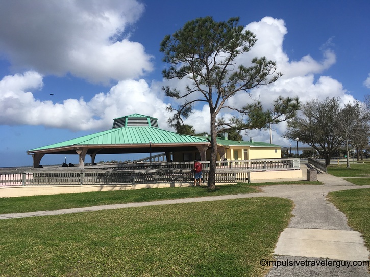
Keeping with my avoiding interstates, I took US Route 1. I was able to see the coast a lot of the drive. I made a few stops at parks along the way, but for the most part, I drove it straight through.

Causeway bridge with palm trees and guardrail, waterway with marina visible on right side, taken from moving vehicle Causeway continuing across water with tall palm trees, boat docks and vessels visible beyond guardrail under blue sky Highway with guardrail running alongside waterway, palm trees and vegetation, fishing pier visible in distance across water Highway curving alongside waterway with palm trees, fishing pier structure visible in background under partly cloudy sky Multi-lane highway with traffic, guardrail separating lanes, waterway and trees visible on right side under blue sky Waterfront park with tall palm trees, green lawn area, high-rise buildings visible in background, picnic pavilion on right Single tall palm tree against dramatic white cumulus clouds with blue sky, waterfront park and pavilion in background Green-roofed pavilion structure with decorative railing, sidewalk paths crossing grass, mature pine and oak trees under cloudy sky Waterway view from seawall with white railing, large bridge spanning water in distance under partly cloudy sky Several sailboats and yachts moored in calm waterway under overcast sky with land visible on horizon Curved concrete seating area or observation deck with bench and railing overlooking waterway with anchored boats in distance Waterway with long concrete bridge spanning across, white railing in foreground, partly cloudy sky reflected on water Dry-docked sailboats stored on stands among palm trees and vegetation in marina storage yard Multiple dry-docked sailboats behind chain-link fence with palm fronds visible, taken from low angle showing boat hulls Highway exit ramp with marina and tall sailboat masts visible behind fence on right side under partly cloudy sky Rural two-lane highway stretching straight ahead with speed limit 65 sign, palm trees and vegetation on roadside, puffy clouds above

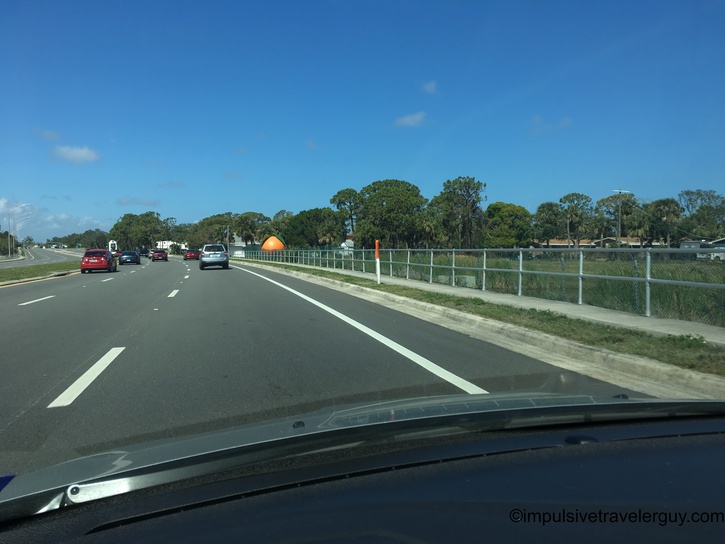
After a while, I started going further inland, so I wasn't going to get a good view of the coast anymore. I got sick of driving a bunch of back roads. After stopping at a sketchy gas station, I decided to go for the interstate again and make some better time. I would drive the interstate until I found a rest stop near Jacksonville to sleep at.

Small gas station with white canopy, red Coca-Cola vending machine, and semi-truck visible in background under partly cloudy sky Bountiful Gas Mart convenience store with green metal roof, multiple gas pumps, vending machines, and palm trees behind building Gas station edge with vehicles fueling, stacked tires in foreground, utility pole, and highway visible in background under blue sky Two-lane rural highway with vehicle ahead, dense tree canopy on both sides, guardrail visible, dramatic clouds overhead with sun glare Straight two-lane highway lined with tall pine trees on both sides, vehicle visible ahead in distance under partly cloudy sky Tree-lined road canopied by large oak trees draped with Spanish moss creating natural tunnel effect under blue sky Highway approach to concrete overpass with Interstate 95 North and Jacksonville signs, traffic signals overhead, palm trees on embankment Multi-lane interstate highway with light traffic, dense pine forest on both sides, clear blue sky with few clouds Interstate highway with blue Rest Area directional sign indicating nighttime security, autumn foliage trees along roadside Interstate rest area welcome center with Spanish colonial architecture, American and state flags, covered picnic pavilion, wide sidewalk Bulletin board with safety poster reading 'You Snooze, You Lose - Don't Drive Drowsy' featuring sleeping emoji, car, and skull icons Rest area retention pond with chain-link fence at sunset, pine trees in background, parked semi-trucks visible across water Chain-link fence with yellow diamond warning sign reading 'Warning Beware of Poisonous Snakes' next to retention pond at dusk Interstate highway at sunset with silhouetted tree line, vehicles passing in opposite lanes, golden sun setting behind pine forest

See more blog entries here