Back to Lower Altitudes Colorado Back to Texas

After a nice visit with Victoria’s dad in Denver, it was time to go home. The morning started off at a cool 48 degrees.

Car dashboard display showing 7,186 miles on odometer, Trip 1 statistics of 17.0 miles traveled at 26.6 MPG average, and exterior temperature of 48°F

We had left around 7am, so there was a decent amount of light, but the sun was still coming up in the mountains.

Wide suburban road at dawn or dusk with trees lining both sides and distant hills visible under a pastel sky Tree-lined curved road with another vehicle ahead, photographed during golden hour lighting Multi-lane highway stretching toward distant mountains under blue sky with scattered clouds Highway with overhead exit sign for Yakshill visible, surrounded by electrical transmission towers and infrastructure Modern highway overpass with curved pedestrian bridge and contemporary multi-story building with reflective glass facade Highway cutting through hilly terrain with mountains visible in the background under clear blue sky Interstate highway with snow-capped mountain range prominently visible on the horizon Highway approaching modern overpass with decorative brown pillars and glass safety barriers View from beneath highway overpass showing structural pillars and green directional sign ahead Elevated highway section with vehicles ahead and commercial buildings visible on the right side Large geometric sun sculpture art installation in terra cotta/orange color beside the highway Rural two-lane highway with mountain range visible in the distance and sparse roadside development Straight rural highway with snow-capped mountains on the horizon and open grassland on both sides Long straight section of rural highway cutting through flat agricultural land with mountains in distance Rural highway with centerline stripe stretching toward snow-capped mountains under clear sky Two-lane highway winding through rolling hills with green grass and scattered trees Highway through gently rolling terrain with mountains visible in the background Highway with snow-capped mountain range ahead and yellow curve warning sign visible on roadside

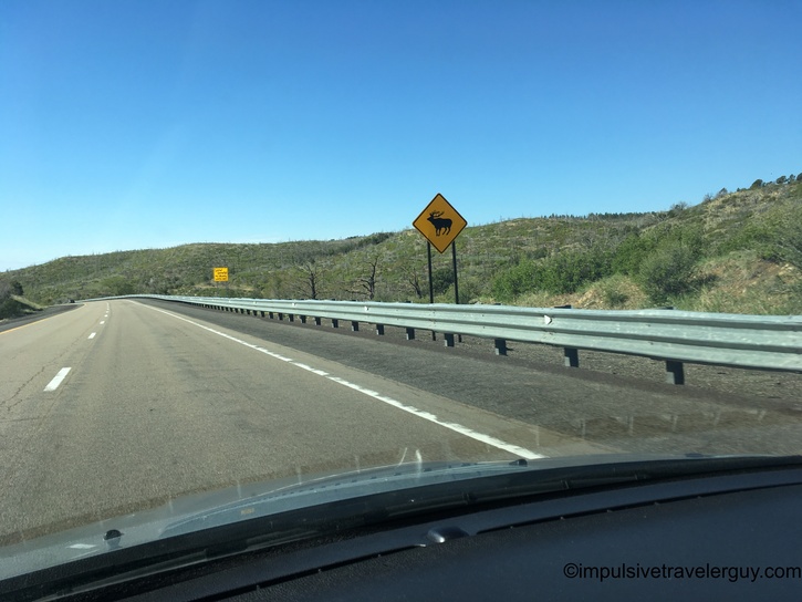
We decided to stop for gas and top off before it got to be desolate nothing New Mexico. There was a nice view of the mountains from the gas station.

Gas station with red canopy and Route 66 sign, framed by dramatic snow-capped mountain peaks in the background

After filling up, we were back on the road. The mountains would come and go. With them being so huge, they were a staple of our view, but obviously it depended on the angle and distance we were from them on how good the view actually was.

Long straight highway cutting through rolling green grassland under clear blue sky with power lines paralleling the road Highway approaching town with prominent flat-topped mesa formation visible in the background and pickup truck ahead Highway near town entrance with distinctive mesa butte in background and pickup truck traveling ahead Highway with orange construction warning signs visible ahead and forested hills in the background Highway construction zone with orange barrel marking lane edge, forested hillsides visible on both sides Highway with semi trucks ahead climbing through forested terrain with metal guardrail and exposed hillside on right Highway passing dramatic cut through exposed layered rock face and cliff on right side with vehicles ahead

We finally made it to New Mexico! It was pretty much all downhill from here and the closer we got to Texas, the flatter it became.

View under overpass displaying Interstate 25 shield, clearance height sign reading 15 FT 7 IN, and yellow Welcome to New Mexico sign Highway curving through forested hills with mountains visible in the distant background Highway with yellow cattle crossing warning sign and metal guardrail, rolling hills covered with scattered vegetation Highway with large yellow Welcome to New Mexico sign on roadside, people standing near sign taking photos Straight highway stretching across vast grassland plain with wispy clouds above and distant mesas on horizon Desert highway through open prairie with isolated mountain formation in distance and scattered white clouds Distinctive roadside building with stone facade topped by large dinosaur sculptures, featuring turquoise awnings over windows Small town main street with local businesses, desert landscaping including yucca plants, and parked vehicles Historic downtown street with vintage storefronts and Blue Swallow Motel sign visible on building Ruler-straight highway through completely flat prairie terrain with minimal trees and distant horizon

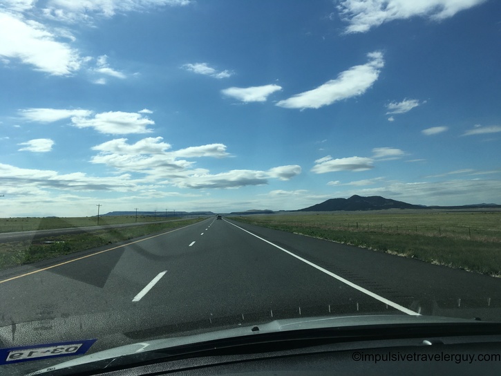
Soon, we were back in Texas and the Central Time Zone, as well as a whole lot more of flat.

Rural two-lane highway through flat farmland with scattered trees and green directional sign ahead Highway with green Welcome to Texas sign displaying Texas flag, surrounded by flat agricultural fields Straight highway continuing through flat Texas farmland with vehicle ahead and minimal roadside features Highway through flat agricultural region with vehicle ahead, parallel power lines, and green fields stretching to horizon Two-lane highway cutting through gap between low hills covered with sparse scrubby vegetation Perfectly straight rural highway extending to distant horizon with fence lines, power poles, and wispy clouds overhead

It definitely was a lot hotter.

Car dashboard showing 7,728 miles on odometer, Trip 1 statistics at 73 MPH traveling 37.0 miles at 39.5 MPG average

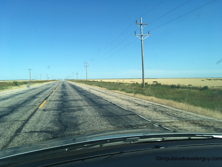
The GPS unit took us a little bit different route than the way up. We ended up going through Amarillo. This route was still a lot of flat nothing.

Empty highway stretching across flat Texas rangeland with minimal vegetation and distant horizon Highway bridge spanning forested valley with trees lining both sides of the elevated roadway Rural highway passing large white cylindrical oil or water storage tanks on left side Highway with agricultural vehicle ahead, dense tree line on right and open field on left

You could tell this route was in the middle of nowhere and agriculture was king.

Following green combine harvester on rural highway surrounded by flat farmland with curve warning sign ahead

After passing the tractor, it was open roads again.

Straight highway through farmland with long shadows from power poles indicating late afternoon sun Similar perspective of straight highway through agricultural plains with prominent power pole shadows Highway descending into valley with orange construction barrels and town visible in distance below

We did make it back to Brownwood, where I drove past Underwood’s Cafeteria. While I’ve been meaning to stop there, we ended up at Taco Bueno because we knew it would be fast.

Commercial strip with iconic tall cowboy figure sign, car dealerships including Lincoln visible along roadside Upward angle view of yellow Sonic Drive-In building exterior showing architectural details and entrance Food tray with folded chalupa filled with shredded meat, nacho cheese sauce container, and basket of tortilla chips

After Taco Bueno, we were on the last leg of the drive. This would be entering Hill Country, which is definitely more scenic than flat West Texas. We also got to watch the sunset.

Highway through rolling terrain with dramatic white cumulus clouds building against blue sky Highway at dusk flanked by trees with soft pink and blue twilight colors in sky Darker dusk scene on highway with trees silhouetted against dimming blue-gray sky Side mirror reflecting warm orange and pink sunset glow on rural highway at dusk Sunset view through windshield showing vibrant orange and pink sky with silhouetted landscape and ground fog

This drive went pretty smoothly overall. I drove most of it, but Victoria did drive a while while I gave myself a rest. It was nice to visit Colorado, but also nice to be back in Texas.

See more blog entries here